Lebanon
Directorate General of Land and Maritime Transport Ministry of Transport and Public Works
A contribution by Commander Afif Ghaith and Christian Fahed
Lebanon is a small country located on the shores of the Levantine Basin in the Eastern Mediterranean Sea with a coastline that extends to roughly 220km. Our ancestors the Phoenicians conquered the seas thousands of years ago and were one of the first civilizations to establish maritime trade within the Mediterranean Sea. Since then Lebanon has played a vital role as a hub for a maritime trade for the region and this is due to its unique position at the center of the three old continents, hence the importance of safe and efficient maritime navigation.
Although maritime navigation in Lebanon is not very challenging nor risky because of the very narrow continental shelf and the small tidal range, recent events and more specifically the tragedy of the Beirut Port explosion (4 August 2020) have highlighted the importance of adequate risk assessment and more importantly the mitigations measures needed afterwards.
Link with IALA
The Lebanese Navy Hydrographic Service (LNHS) is a relatively newly established entity that aims to assume the full responsibility for charting all of the Lebanese waters by the end of this decade. During a regional hydrographic meeting, a connection was established with IALA and a technical visit was planned.
After the technical visit and based on its findings, IALA offered LNHS various courses that covered all the different Risk Assessment tools in addition to an AToN manager’s course.
Introducing PAWSA
Keeping the tragedy of the Beirut Port explosion in mind and benefiting from the newly acquired knowledge from the IALA courses, LNHS decided that all major ports in Lebanon required a major Risk Assessment that allowed the involvement of all the relevant stakeholders hence why we chose PAWSA .
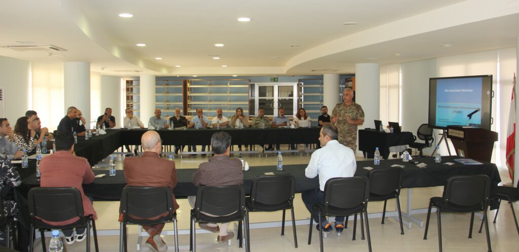
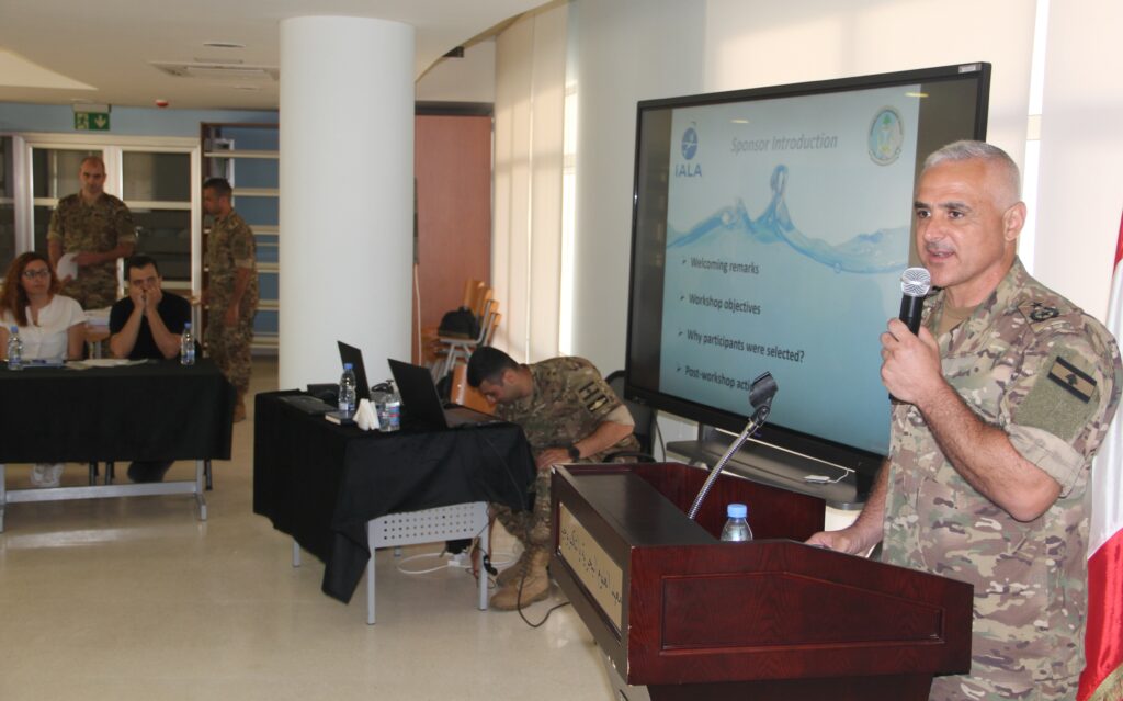
Involving all the stakeholders in the maritime domain in a country facing one of worst economic crisis of the century and during the pandemic period proved to be very challenging and somewhat impossible, however, we went through with it and delivered a three-day PAWSA workshop on the Beirut Port and surrounding area.
This risk assessment was performed prior to the release of our first nautical chart and allowed us together with the relevant authorities to highlight different issues that needed to be addressed in order to promote not only the safety but also the efficiency of maritime navigation in Beirut.
Risk mitigation
Mitigations for the risks ranged from adjusting and creating new routeing measures, to conducting new hydrographic surveys and maintaining or establishing new AtoNs. All these enhancements have been adjusted accordingly in the newly published chart and the same methodology will be adapted for all the upcoming charts belongings to the big ports in Lebanon.
In order to improve and promote the safe and efficient maritime navigation in Lebanon, LNHS is currently working on a new workflow comprising three different steps for all the different ports and maritime terminals.
Nautical publications
Starting with a risk assessment (SIRA or PAWSA depending on their scale), followed by a hydrographic survey (if needed) and finally a newly improved AToN plan (again if needed). Then LNHS will categorize all these ports based on the steps they have reached in this workflow and will publish this categorization on its nautical documentation on the national and international scene. This will provide the mariner with the certainty that the port he is entering is following the highest standards or not.
Finally, the risk assessment tools and philosophy provided by IALA formed the stepping-stones used by LNHS that is helping Lebanon reclaim its position as a hub for maritime trade in the eastern Mediterranean by ensuring a safe, efficient and sustainable maritime navigation for future generations.
*About the contributors
Our thanks go to Lieutenant Christian Fahed and Commander Afif Ghaith for the provision of this article.
Afif Ghaith is a Commander in the Lebanese Armed Forces, currently serving as the Director of the Lebanese Navy Hydrographic Service. He holds an IHO Cat A Hydrographic Certificate, and has experienced in managing hydrographic, coastal engineering and environmental projects.
He is Maritime Risk Assessement manager for ports and waterways in addition to being an aids to navigation manager.
Christian Fahed is Lieutenant in the Lebanese Armed Forces, currently serving as the Vice-Director of the Lebanese Navy Hydrographic Service. He holds an IHO Cat A and B Hydrographic Certificate, has acquired experience in acquisition onboard, processing in the office and delivering bathymetric outputs.
He has attended various courses within the IALA organization regarding risk assessments and the Aids to Navigation Manager.


Rapporteur: Paul Ridgway
